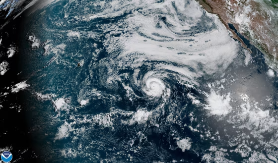
Hurricane Douglas became the first hurricane of the 2020 eastern Pacific season when it whipped up winds of 74 mph Wednesday.
It's a late start for the region's hurricane season — according to the National Hurricane Center, or NHC, Hurricane Douglas is among the latest first hurricanes. Hurricane Hanna became a hurricane shortly after Douglas and made landfall in Texas Saturday, another of the three storm systems bearing down on the U.S. and the Caribbean.
Douglas, now a hurricane with sustained winds up to 90 mph, is approaching the Hawaiian Islands and projected to pass close or over them Sunday, according to the NHC. With the close passage of the storm come the threats of "damaging winds, flooding rainfall and dangerously high surf," and the effects of the storm will be felt beyond the immediate track of the storm's path.
Follow the path of the storm system with this map, which will update with the latest storm forecast.
