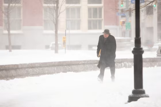
A colossal band of snow stretching almost 500 miles hammered portions of the Great Lakes and the interior Northeast on Friday.
Early Friday morning, the single lake-effect snow band was producing reports of thundersnow and snowfall rates of 3 inches per hour. Called a "triple lake band," it was picking up moisture from Lake Superior, Lake Huron and Lake Ontario resulting in extremely heavy snow over the Tug Hill Plateau of northern New York.
The largely ice-free Great Lakes are the reason why this snow event is so significant. For perspective, here's a comparison of how little ice there is on the Great Lakes compared to average:
















Total Great Lakes ice cover should be greater than 60 percent for the date. Instead, they were just 9.6 percent covered as of Thursday afternoon.
Blizzard warnings remain in effect for parts of upstate and western New York, where heavy snow with rates of up to 3 inches per hour and wind gusts up to 60 mph will lead to whiteout conditions and make travel impossible through Friday night. The snow is expected to diminish in intensity Saturday.
On Friday morning, the highest snow total so far was 28.5 inches in Copenhagen, New York. Additional snowfall totals through Saturday of 6-12 inches are likely, with locally higher amounts up to 24 inches still to come. The bull's-eye for the heaviest totals will be in and around the Tug Hill Plateau of northern New York where total snowfall amounts will exceed 3 feet, and locally higher up to 4 feet.
For the rest of the East Coast, it will be a cold end to February and a chilly start to March this weekend. Temperatures 10-20 degrees below average will mean East Coast residents will need to bundle up through the weekend. This includes a large part of the Southeast where subfreezing temperatures are forecast Saturday and Sunday morning.
